Where AI Meets
Drone Technology
SkylyX connects computer vision, AI-based decision logic, GPS-resilient navigation, and drone-control software into one smart autonomous layer — designed to work across drone platforms and help them interpret real environments with precision.
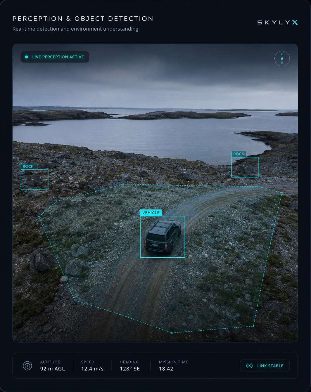
Perception & Object Detection
SkylyX uses computer vision and neural-network-based perception to identify objects, understand scene context, and support real-time decision-making from real-world inputs. The system is designed to turn raw drone data into structured, confidence-scored information.
-
troubleshoot
Image Recognition Pipeline
Visual models help detect relevant objects, patterns, and environmental cues from drone-captured imagery.
-
neurology
Object Detection & Context
Detection outputs are combined with scene context so the system can distinguish what matters from background noise.
Autonomy Stack Architecture
Perception Layer
Processes visual input from the drone and converts it into usable signals for detection, classification, and scene understanding.
Navigation Layer
Combines visual motion estimation, sensor inputs, and path context to support stable operation in complex environments.
Control Layer
Connects perception and navigation outputs to drone-control logic, mission state, telemetry, and operator oversight.
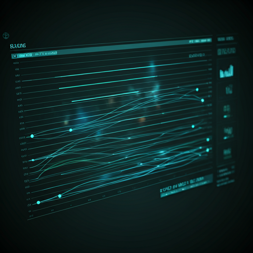
Built Beyond a Single Drone Model
SkylyX is designed as an intelligence layer that can connect with different drone platforms, not only one manufacturer or airframe. The system links AI outputs, telemetry, mission state, and control logic so the autonomy stack can adapt across hardware environments.
GPS-Resilient Navigation
Designed to support operation when GPS is degraded, unreliable, or unavailable.
Uses visual change between frames to help estimate movement relative to the environment.
Maintains short-term position and motion awareness using prior state and onboard sensor inputs.
Combines visual, inertial, and system signals to improve navigation confidence.
Built to assist drone operation in environments where GPS quality may be limited or inconsistent.
Want to review the technology?
We're happy to walk through the autonomy stack, technical assumptions, and integration approach with teams evaluating SkylyX.